

Woolley Edge [Beacon Hill]
Good walks are even better shared.
SE3013 : View from Woolley Edge Lane
JThomas Photo source
Overview
Woolley Edge [Beacon Hill]
Nestled conveniently near Wakefield lies Woolley Edge, a modest yet charming Marilyn that offers stunning views and a pleasant challenge for hikers of all abilities. With an elevation of 260 meters, it is the perfect spot to stretch your legs and take in the fresh Yorkshire air.
Geology
Woolley Edge boasts intriguing geological features with its Pennine sandstone. This unique formation shapes the landscape and provides a glimpse into the natural history of the area. Sure, it's not the Alps, but who needs the Alps when you've got the rugged beauty of Yorkshire?
Access
Getting to Woolley Edge is a walk in the park—well, almost! The nearest parking spot is off the A638, a handy little area for picnickers and hikers alike. For those relying on public transport, regular bus services connect Wakefield to nearby villages, leaving you just a skip away from your adventure. Don’t forget to stock up in Wakefield—while there are no tea shops on the hill, the town has you covered.
Routes
The Woolley Edge Circular Walk is a favourite amongst locals. Spanning approximately 5.5 km, this moderate jaunt provides an enjoyable way to experience the hill while taking in the picturesque surroundings.
Summit Features
Reaching the summit, you’ll encounter a trig point standing proudly against the Yorkshire skyline, accompanied by a quaint stone-walled shelter. Perfect for those selfies or a wee break, it’s the ideal place to reflect on your conquering of the hill.
Views
One of the highlights of Woolley Edge is undoubtedly its panoramic views over West Yorkshire. You’ll be treated to sights of the Calder Valley and even the higher peaks of the Pennines when the visibility is good. Spring and autumn are particularly wonderful times to visit, with the landscape awash in colour and clarity.
Hazards
As with many hills in the UK, caution is advised during wet conditions as the trails can become slippery. It’s best to avoid hiking when it’s been pouring, unless, of course, you're training for a mud wrestling competition!
Nearby Summits
For those looking to extend their adventure, consider nearby Hartshead Pike or Beacon Hill, each offering their own unique charms and views.
Whether you’re a seasoned hiker or a casual wanderer, Woolley Edge invites you for a day in the hills. Don’t forget your camera—these views are simply too good to keep to yourself!
Remember:
- Carry sufficient water and snacks.
- Respect the local wildlife and environment.
- And most importantly, enjoy your Yorkshire adventure!
Explore routes near Woolley Edge [Beacon Hill]
Walks starting near this hill. Open a route to check its map, distance and full itinerary.
Pugneys Country Park Main Lake
View route
Walton Colliery Lakes Figure Eight
View route
Rabbit Ings Woodland and Wetland Circuit
View route
Anglers Country Park Lakeside Circuit
View route
Route planning notes
These notes describe possible approaches. Check a route's map and access information when planning your walk.
Woolley Edge Circular Walk
A delightful circular walk that meanders up Woolley Edge from the nearby village, offering scenic views and a chance to explore the surrounding countryside.
Make a day of it, together
Find someone to share the walk with, or organise a day out along a route you like.
Photo Gallery
View all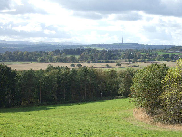 Photo could not load
SE3013 : View from Woolley Edge Lane
JThomas
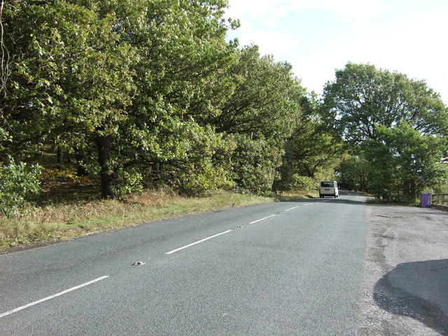 Photo could not load
SE3013 : Woolley Edge Lane
JThomas
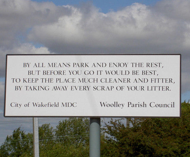 Photo could not load
SE3013 : Composed by the City bard?
Steve Fareham
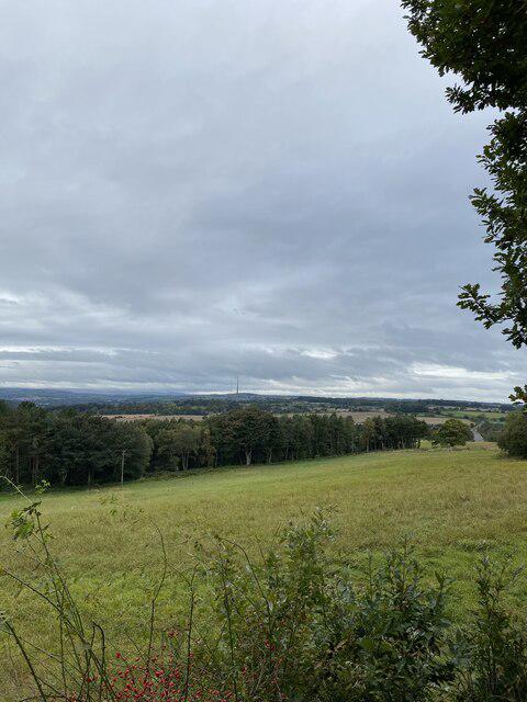 Photo could not load
SE3013 : View from Woolley Edge View Point
thejackrustles
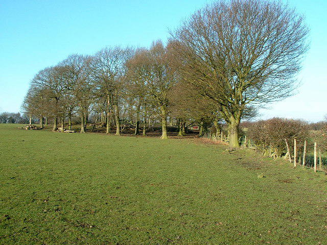 Photo could not load
SE3013 : Small Wooded Area, near Beacon Hill
Nigel Homer
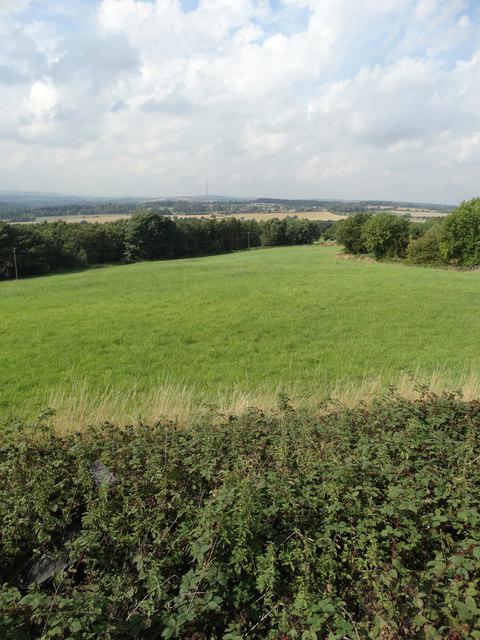 Photo could not load
SE3013 : Looking west from Woolley Edge
Neil Theasby
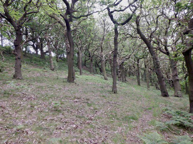 Photo could not load
SE3013 : Beacon Hill Plantation
Richard Webb
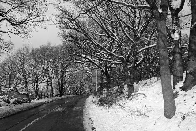 Photo could not load
SE3013 : Bleak winter day on Woolley Edge
Walking person
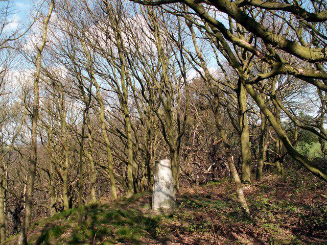 Photo could not load
SE3013 : Beacon Hill
John Fielding
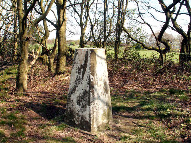
SE3013 : Beacon Hill Triangulation Pillar
John Fielding
Hill facts and local notes
Classifications
Elevation
176m
577 ft
Prominence
56m
Coordinates
53.6165, -1.5378
SE306134
OS Map
110 111
Explorer: 278N
At the Summit
The summit features a prominent trig point, a stone pillar used for triangulation, which makes for a great selfie backdrop. There’s also a small stone-walled shelter, perfect for a picnic or dodging the elements.
Terrain & Geology
Woolley Edge is primarily composed of Pennine sandstone, a primarily sedimentary rock that forms from layers of sand compacted over time, creating a rugged and scenic landscape perfect for an afternoon ramble.
Views & Scenery
From the summit, you can behold the sprawling views of West Yorkshire, including the nearby peaks of the Pennine hills and the shimmering expanse of the Calder Valley.
History & Heritage
Name Origin
The name 'Woolley' is derived from the Old English 'wool', possibly referring to sheep farming in the area, while 'Edge' suggests a ridge or the edge of the moorland.
Historical Significance
Historically, this area was a vital crossing point for sheep drovers, reflecting its agricultural heritage and significance in rural trade.
Getting There & Facilities
Parking
There is a small parking area at the base of the hill off the A638, accommodating a handful of vehicles. Please park responsibly as it can fill up quickly on weekends.
Public Transport
Frequent bus services run from Wakefield to nearby villages, with the closest bus stop a short stroll from the base of Woolley Edge.
Nearby Facilities
While there’s no café right on the hill, Wakefield has ample options for refreshments, including delightful cafes and public toilets in town.
Safety Information
Known Hazards
- Care should be taken during wet weather as the terrain can become slippery and muddy, particularly on the grassy slopes.
General Safety Tips
- Check weather conditions before setting out
- Carry appropriate clothing and equipment
- Let someone know your planned route
- Take a map, compass, and GPS device
- Carry emergency supplies: food, water, first aid kit, torch
Hills
Some common questions about the hills answered
Are there group walks up Woolley Edge [Beacon Hill]?
Many walkers use Walkmates to join or organise walks with others. You can check for group walks around Woolley Edge [Beacon Hill] through the maps
Are there other walkers around Woolley Edge [Beacon Hill]?
Activity varies by location and time, but Walkmates lets you see whether others have shared walks or shown interest in this area. Find other people through the walking friends search walking friends for Woolley Edge [Beacon Hill] search or of course create your own walk for Woolley Edge [Beacon Hill]
Can I organise a walk to Woolley Edge [Beacon Hill]?
Yes. If there aren’t any walks listed already, you can create a walk and make it available for others to join.
If you're signed up to Walkmates, you can create a walk to Woolley Edge [Beacon Hill].
How do I find a walk up this hill?
There are often multiple ways to walk this hill, depending on experience and route preference. Walkmates helps you explore walks and routes that others have shared.
Can I suggest a new route up Woolley Edge [Beacon Hill]?
Yes. You can suggest or create routes to share with others. Walkmates focuses on the social side of walking, so routes are used to help people organise walks and explore areas together, rather than as detailed navigation tools or route libraries.
Other uses really appreciate knowledgeable walkers sharing their routes. Share your favourite route to Woolley Edge [Beacon Hill] here
The is an error or something incorrect about this hill. How do I let you know?
We always strive to keep the information on Walkmates as accurate as possible. If you find an error, please let us know through the contact form and we'll aim to correct it as quickly as possible
Community Discussion
Comments
Location
![Woolley Edge [Beacon Hill] location map](https://cdn.walkmates.com/hill-maps/hill-sources/5555/53.61654_-1.53777.png)
Grid reference: SE306134
View on OpenStreetMapOpens a map in a new tab, centred on the hill.
Nearby Hills
Rombalds Moor [Ilkley Moor]
402m

Kinder Scout
636m
The Roaches
505m
Buckden Pike
702m

Pendle Hill
557m
No comments yet. Be the first.